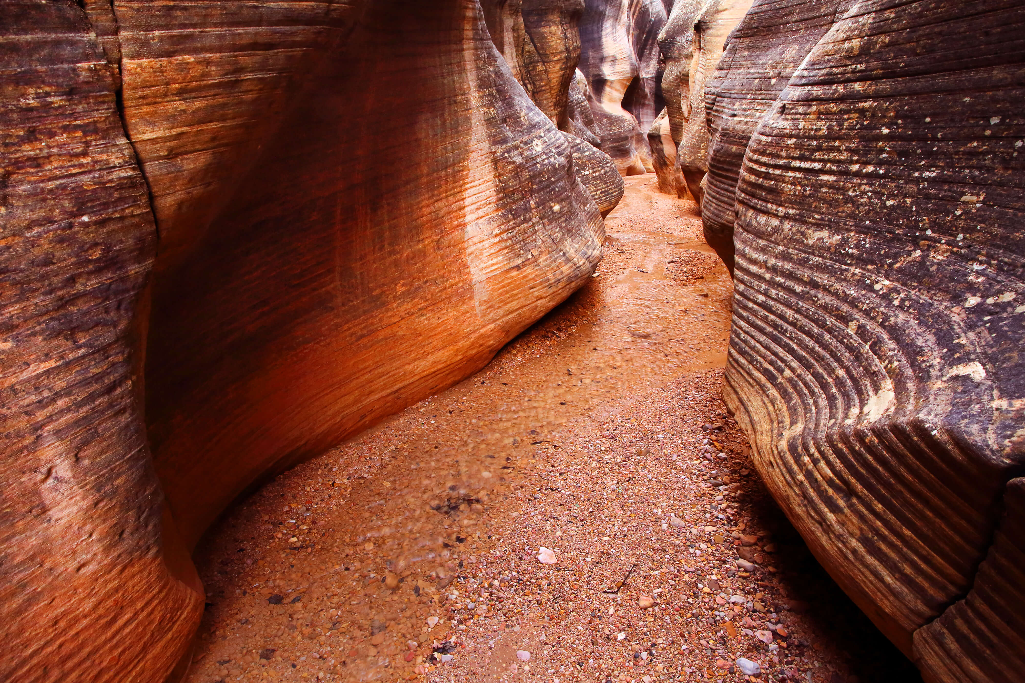
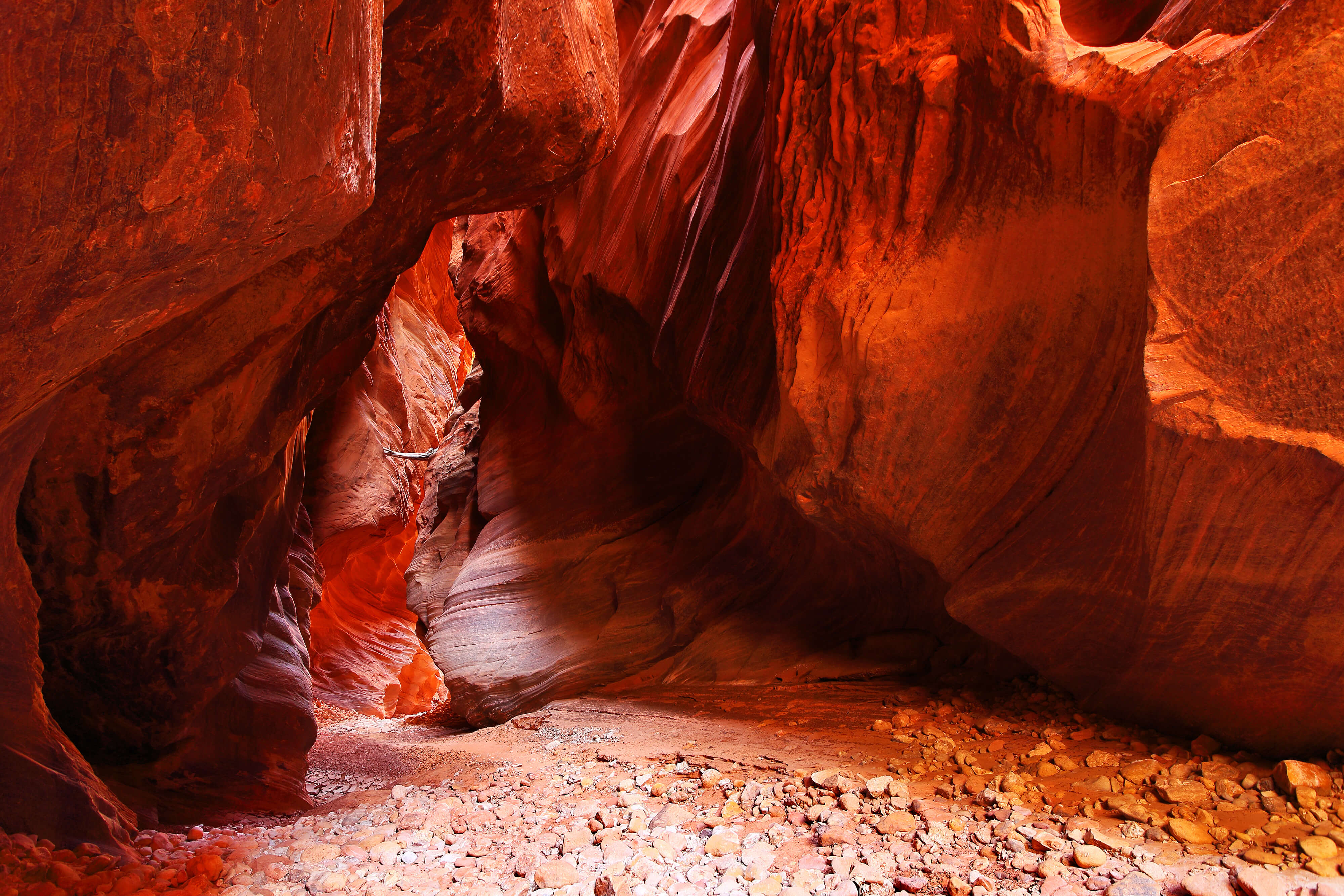
The shallow stream ripples quietly across a flat bed of fine sand, bracketed on each side by willow thickets. The canyon widens as it cuts through the colorful Moenave and Chinle formations...
Please excuse the mess while I get things set up. I’m excited to continue adding new material.
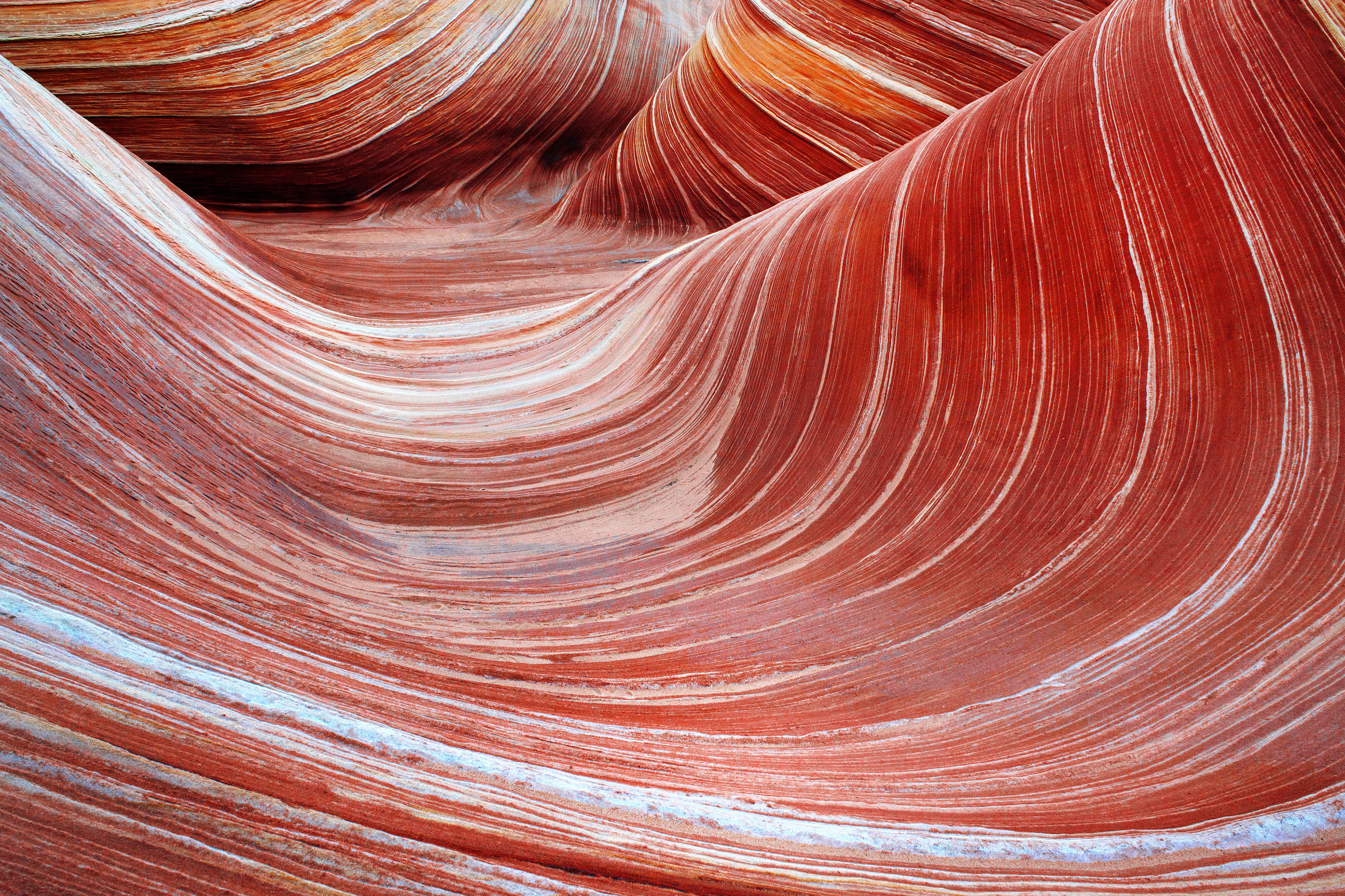
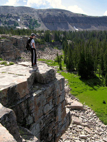
Get information, get inspired, and get outside. This site is devoted to enjoyment of the American backcountry, and its rich natural offerings. From high alpine lakes and wetlands to the abstruse sandstone formations of Cedar Mesa, the American West has it all.
Right now the site primarily focuses on places I’ve been, with an emphasis on the Southwestern United States. In the future, I hope to add much more.